Faroe Islands Kalsoy: The Lighthouse in the Clouds
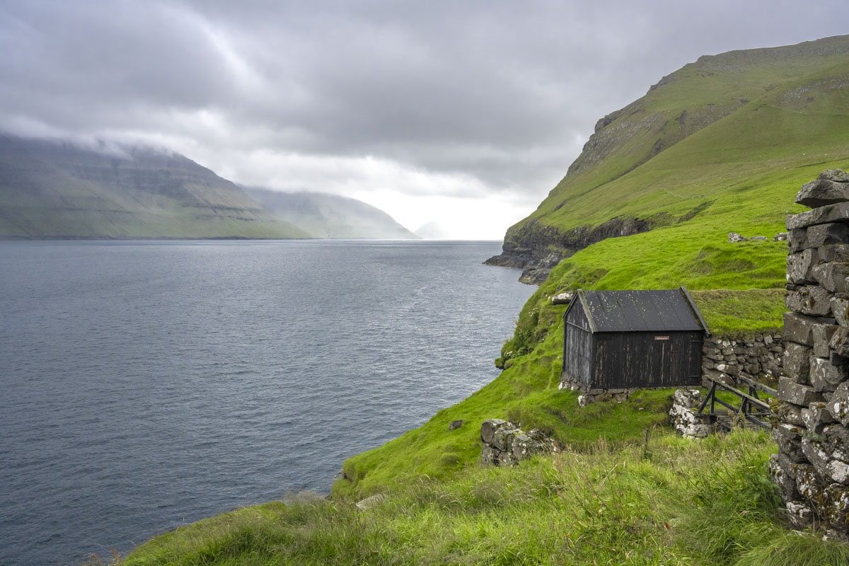
At Klaksvík, we boarded the 10 a.m. ferry to Syðradalur, a tiny village tucked into the southern tip of Kalsoy Island. The ferry, M/F Sam, is an old boat with character— a short ride with no frills across the fjord. Syðradalur itself is quiet, just a few houses and a dock, but it’s the gateway to Kalsoy’s four villages and four tunnels.
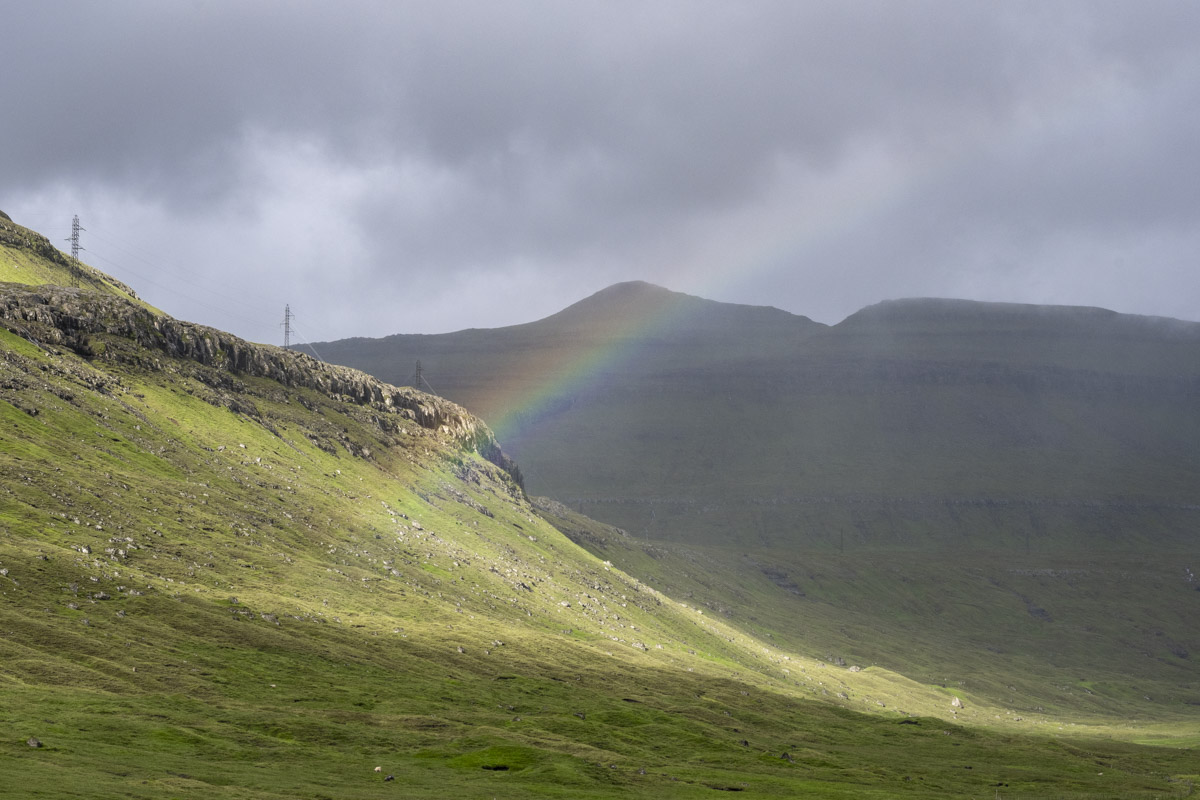
Kalsoy island is shaped like a flute. The western cliffs are sheer drops into the Atlantic. The heart of the island is a mountainous spine with 13 peaks. The only habitable terrain lies in four eastern valleys, each connected by one-lane tunnels blasted through basalt: Syðradalur (“Southern Valley”), Húsar (“Houses”), Mikladalur (“Great Valley”), and Trøllanes (“Troll Peninsula”).
We met our colorful bus driver, Magnus, who drove the length of the island in a bussur that seemed too big for the roads and barely squeezed into the narrow tunnels. He wore a headset to radio other drivers when entering a tunnel, avoiding a bus-vs-bus encounter. Our intended destination was Trøllanes, but rain began to fall, so we stopped in Mikladalur to visit the Kópakonan, or Seal Woman, statue. She stands on a rocky outcrop by the sea—bronze and stainless steel, often shrouded in mist. The sculpture was unveiled in 2014 by Hans Pauli Olsen, one of the Faroes’ most celebrated artists.
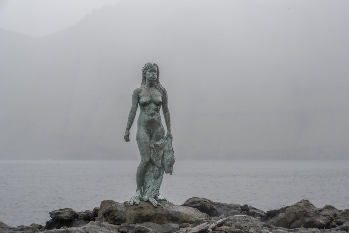
The story of the Seal Woman is one of the Faroes’ most enduring folktales. Seals, once human, return to land on Twelfth Night to dance. A young farmer from Mikladalur stole the sealskin of a beautiful woman, forcing her to stay and marry him. They had children, but he kept the key to her skin on his belt. One day, he forgot it. She found the key, reclaimed her skin, and returned to the sea—leaving her children behind. A bull seal, who had loved her all along, waited in the waves. Locals say she still watches from the water.
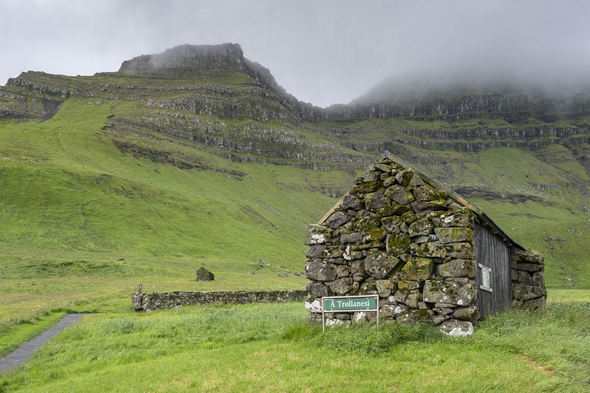
From Mikladalur, we continued north to Trøllanes, a remote village with fewer than 15 residents. The final tunnel, Trøllanestunnilin, is 2.2 km long and opens into a deep valley surrounded by cliffs and sea. There’s a legend that trolls once descended on Twelfth Night, forcing villagers to flee. One year, an old woman stayed behind and hid under a table. When the trolls arrived, she cried out the name of Christ, and they vanished—never to return.
Trøllanes is the starting point for the hike to Kallur Lighthouse. The trail is short—about 45 minutes—but steep, muddy, and exposed to wind. Our guide, Jóhannus, was a local farmer and landowner. He took us up, past sheep and stone shelters, through shifting weather. From the lighthouse, you can see Eysturoy and Streymoy to the west and Mount Borgarin behind you. A nearby ridge walk offers a panoramic view of the lighthouse itself, flanked by sheer 200-meter drops. Not for the faint of heart!
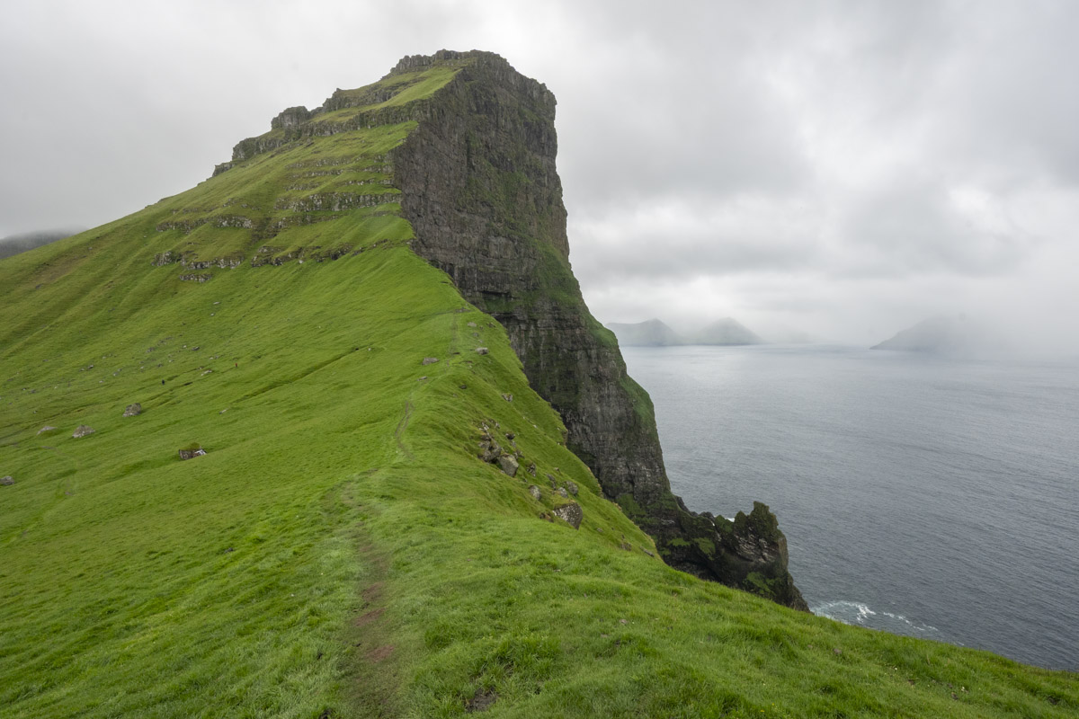
Jóhannus regaled us with tales of the village and his involvement with the filming of the movie No Time to Die. When he learned that James Bond died in the film, he erected a gravestone for the character near the lighthouse, and the site has become one of the islands’ major tourist attractions.

After the hike, we toured the village where each building is color-coded according to family ownership. The area is a critical seabird breeding ground, home to puffins, storm petrels, and guillemots, and we saw a puffin colony tucked into the cliffs. Jóhannus pointed out the insanely steep “footpath” over the cliffs that used to be the main route to the next village before the Trøllanestunnilin was constructed in 1985—yet another reminder of the adaptability and grit of the people who live on these islands.
