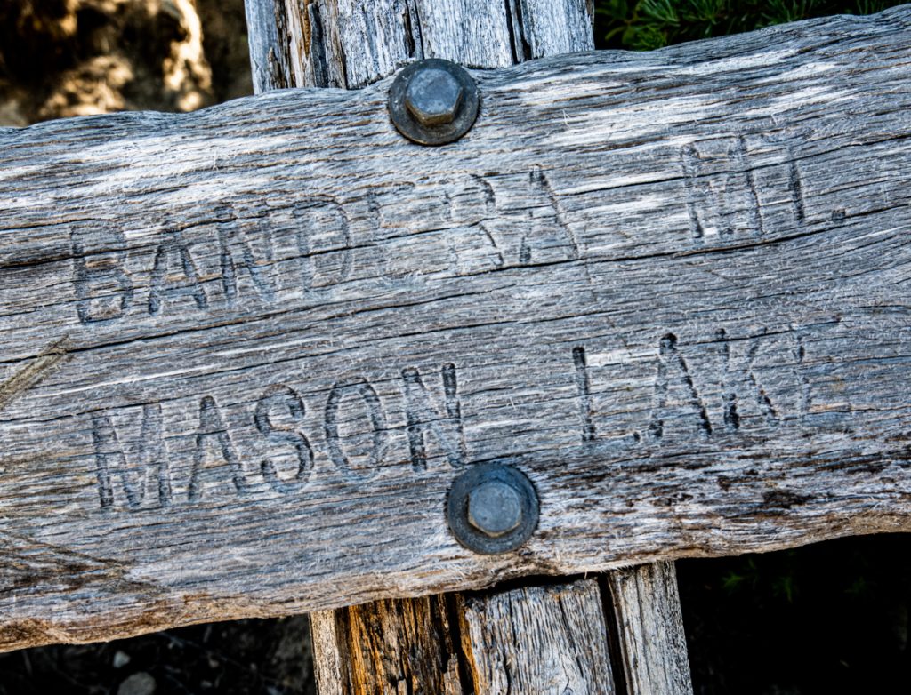
Mason Lake
On Tinkham Road, with backpacks buckled and car doors locked, the weight of the week begins to fade. This is a new trail for us, and I love the anticipation of an upcoming adventure combined with gratitude at the chance to explore. Today, our destination is Mason Lake, a 6.8 mile trail near Snoqualmie Pass.
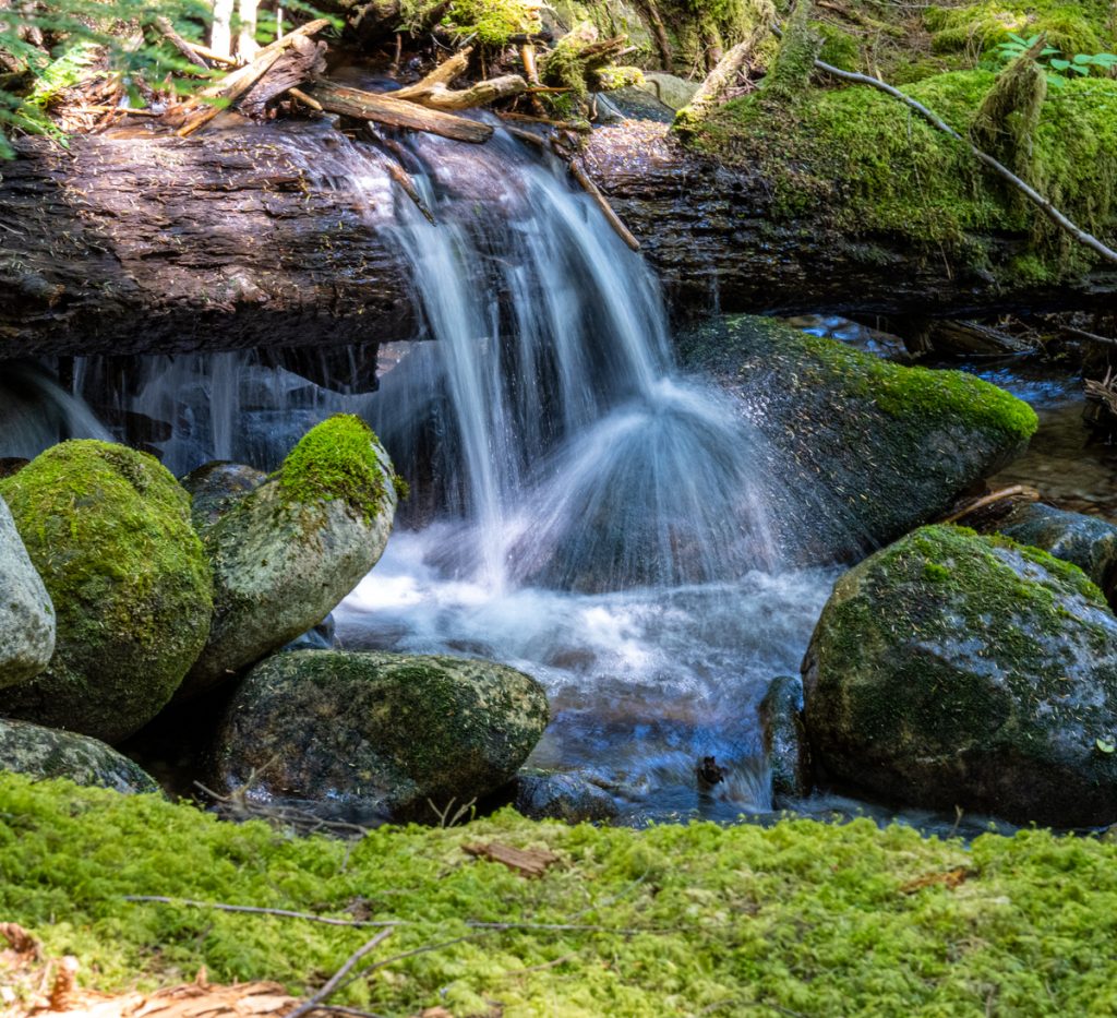
The first section of the trail is steep and short. We follow Mason Creek, a fast-flowing stream that cascades over several small waterfalls. It isn’t an official part of the route, but we’d heard that parking was easier from Tinkham Road, which proved to be true. After about a half mile, we reach the official parking lot at the end of Mason Lake Road, which is lined with overflow cars at 9:30 a.m. on this hot Sunday in July.
Beyond the parking lot, the trail traverses the gentle incline of an abandoned fire road for several miles. Through the trees, we catch glimpses of the sharp mountains across the valley, a hint of the vistas to come. Just before we reach the switchbacks, we cross a sturdy bridge over a waterfall with a spectacular view of McClellan Butte, named for George B. McClellan, the Civil War general and railroad surveyor. McClellan Butte has caught our eye before, and we resolve to climb it this year before the snows come.
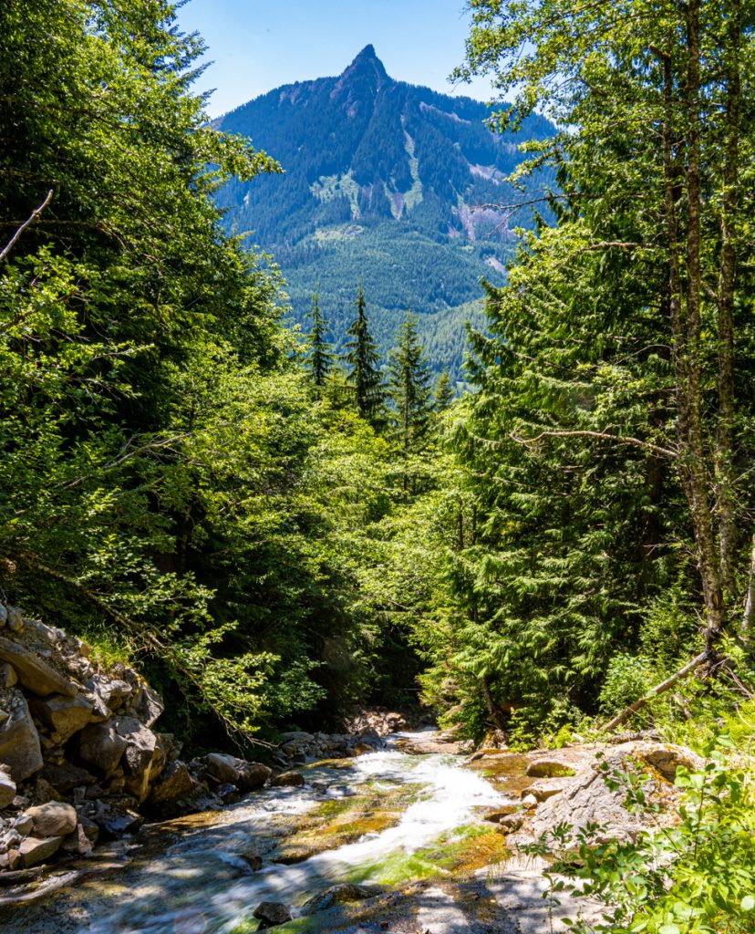 McClellan Butte
At the ridgeline, the views are stunning. Rainier is snow-covered despite the heat wave at the end of June when 30 percent of the snowpack melted in less than a week. The sight of the mountain is always awe-inspiring, and I remember that this is not the first Rainier to grace the horizon. An ancestral Rainier stood in the same place 2 million years ago. Modern Rainier is half a million years old and born of countless lava flows.
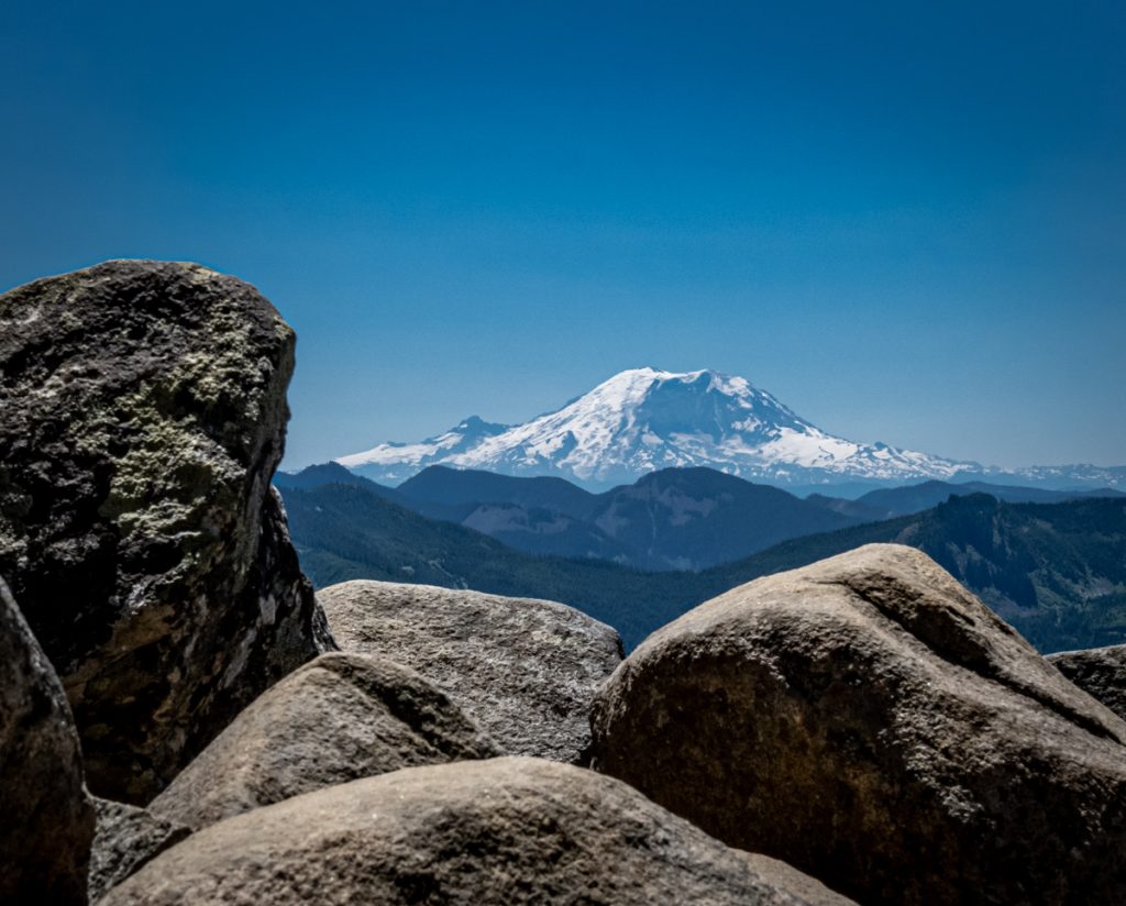 View of Mount Rainer from the trail
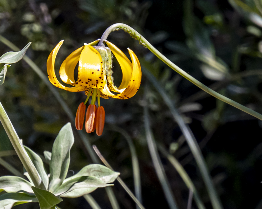
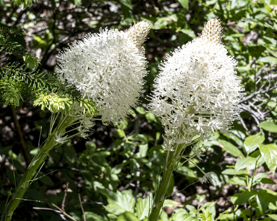
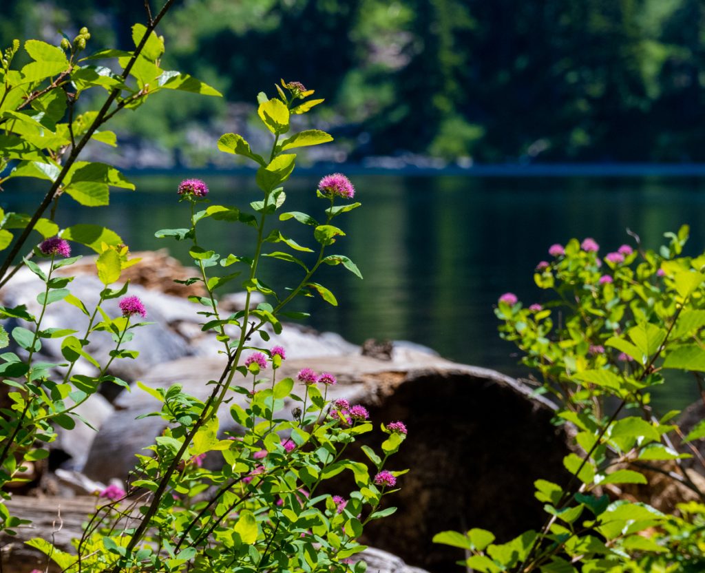
The trail skirts a boulder field where we hope to see a pika or at least hear its distinctive “eep.” I had to look up the difference between a boulder field and talus/scree field. The rocks from a scree field fall from something higher, but here, only the sky is higher. So it’s a boulder field, or Felsenmeer, which is German for “sea of rock.” The pikas remain elusive so we trek on past wildflowers thriving along the dusty trail.
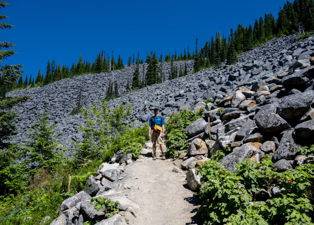 Jeff at the edge of the boulder field
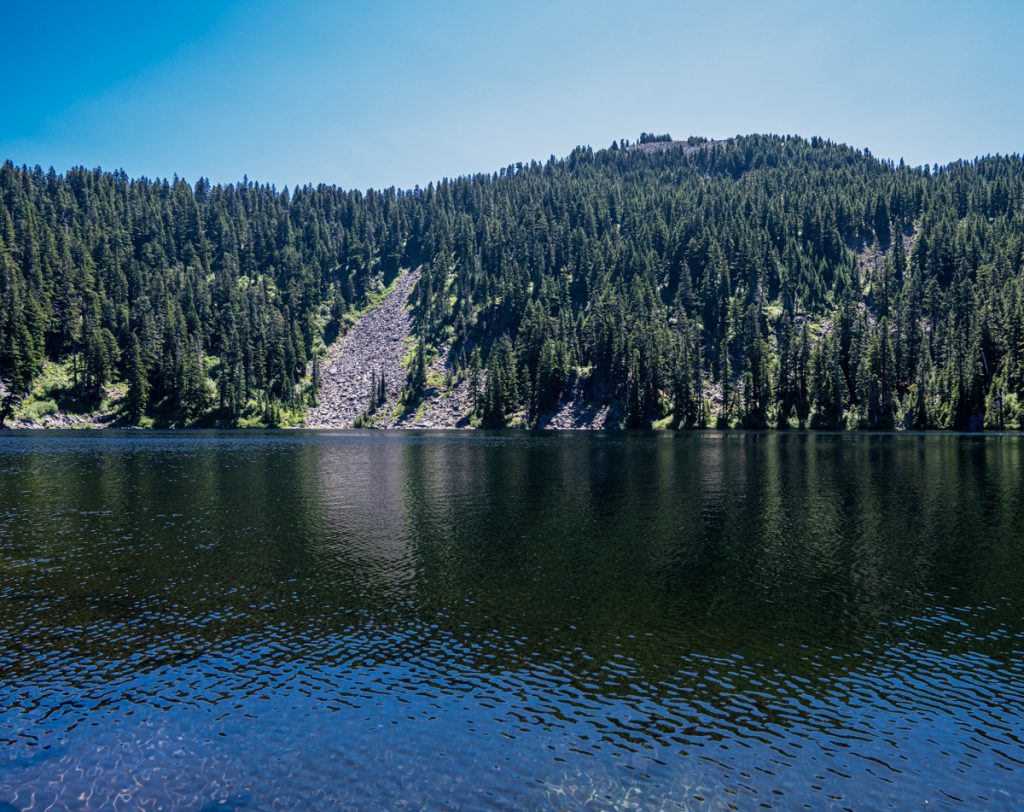
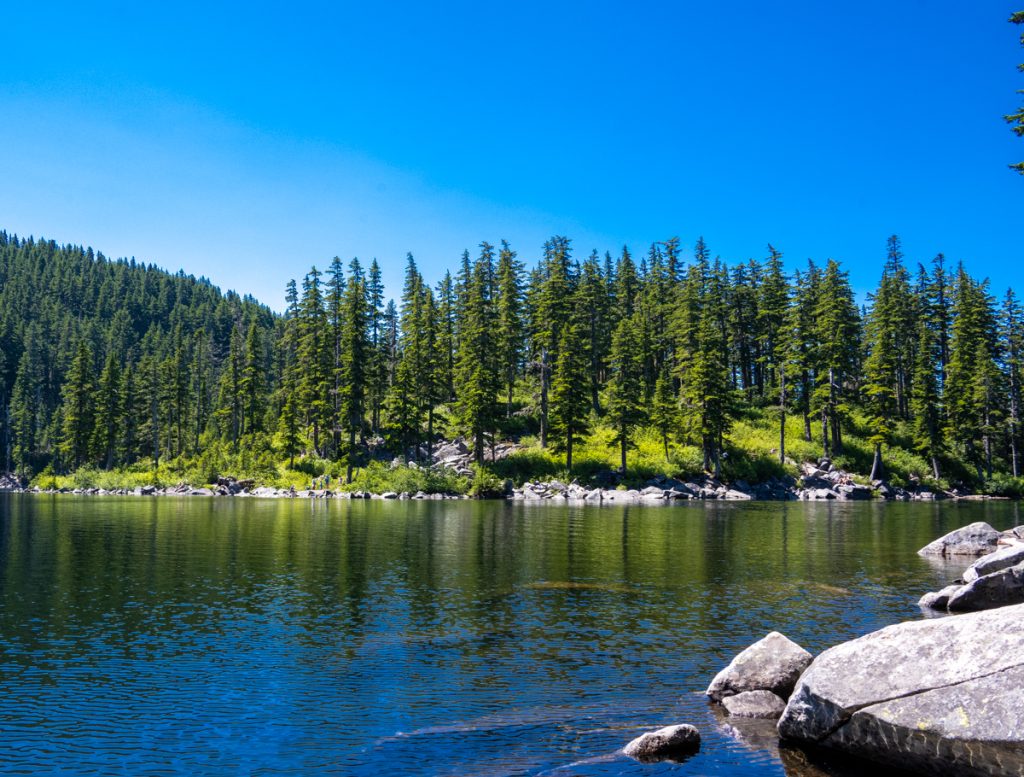
At around 4000 feet, we reach a junction. The right fork leads to Little Bandera, a climb for another day. We head left toward Mason Lake. There’s a short descent, around 200 feet, to reach the water. It is quite crowded so we circle left until we find a semi-secluded spot tucked between some boulders to eat our snacks and watch fish jumping to catch water bugs.
 Jeff at the edge of the boulder field
As we head back down the trail, we see the second of two Adventure Cats enjoying the trail as they ride atop the shoulders of their respective owners. We briefly entertain the idea of taking Ranger on an hike but he’s nervous and mercurial on his best day so we dismiss the notion, which would likely end in blood (ours), sweat (wow, he’s heavy), and tears.
Back at the car, we take a wildlife tally. In addition to birds and Adventure Cats, we saw one noisy squirrel who seemed to be working on his grizzly bear impression.
A great day! Looking forward to our next adventure!
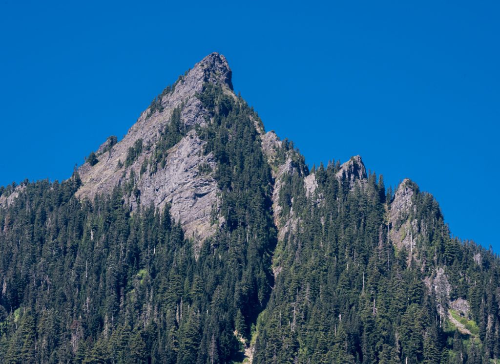 McClellan Butte from the trail to Mason Lake