Faroe Islands Day 2: In Search of Beinisvørð
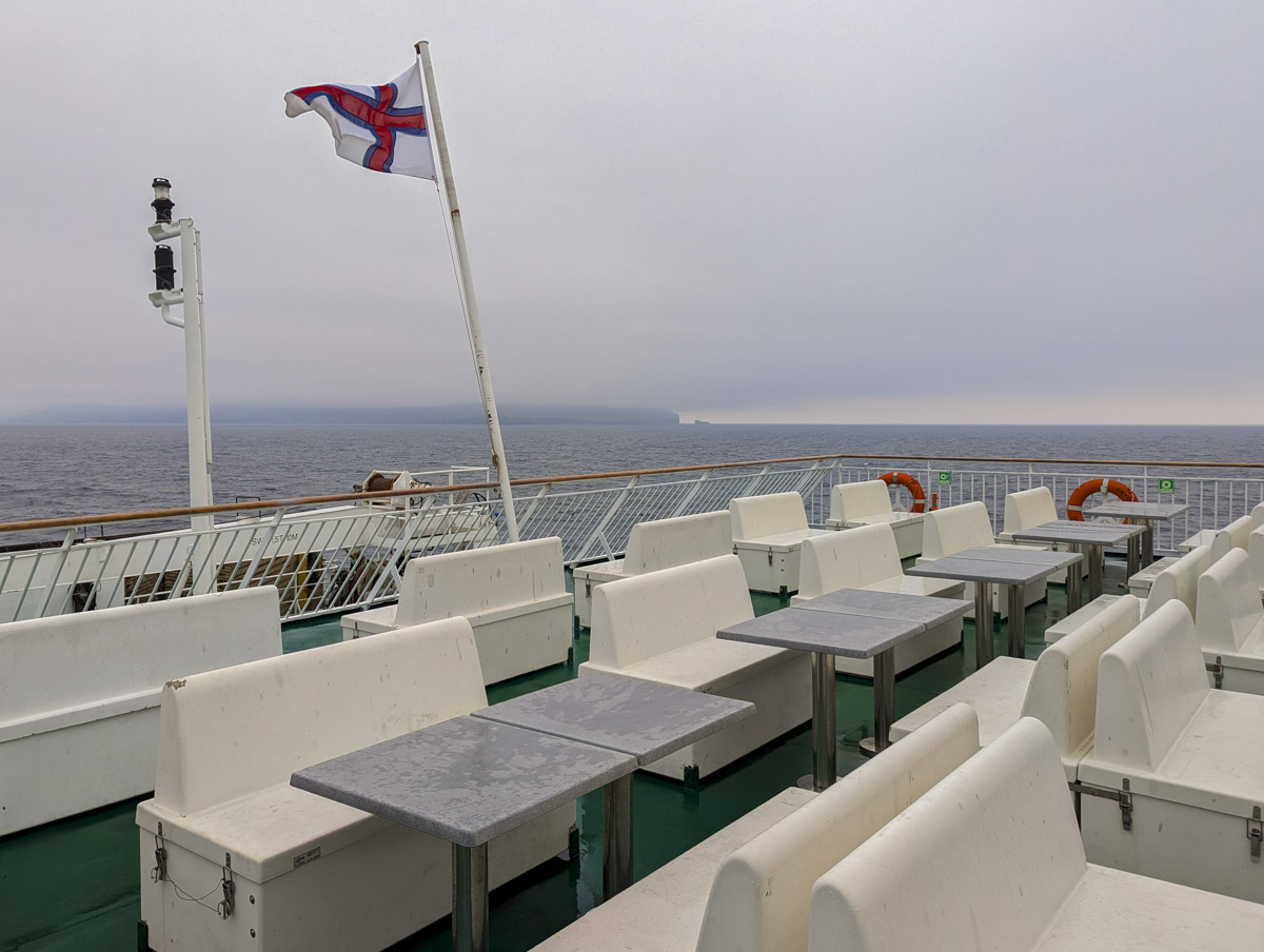
Rain pelted our car as we boarded the M/F Smyril ferry to Suðuroy, the southernmost of the eighteen Faroe Islands. At 166 square km, Suðuroy is the fourth largest island in the archipelago and is approximately 50 miles from Torshavn by sea. Although the 2-hour ride is known for views of dramatic coastlines, it was a day of low visibility and drizzle – not unexpected in the North Atlantic.
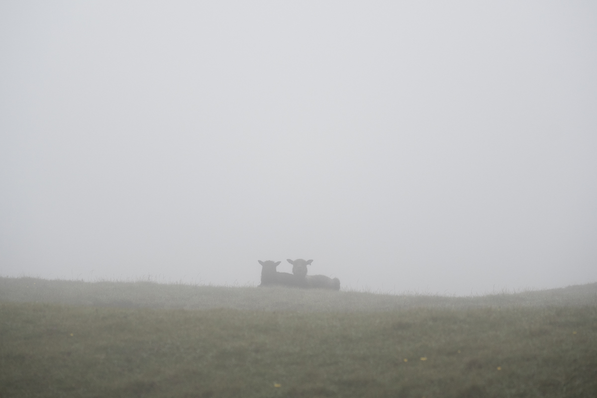
With the foghorn echoing across the water, we docked in Krambatangi Harbour and headed toward Sandvik, on the northern tip of the island. On the drive, we experienced our first one-lane tunnel, something that would become familiar to us in the coming days. The rough-hewn walls seemed only inches from the car, and the dense fog inside the tunnel made visibility challenging. Fortunately, we didn’t encounter any cars and made it to the trailhead for the Ásmundarstakkur, a 97-meter sea stack that is home to puffins. We had a lovely 4-mile hike, but the fog never cleared. Our search for puffins continued.
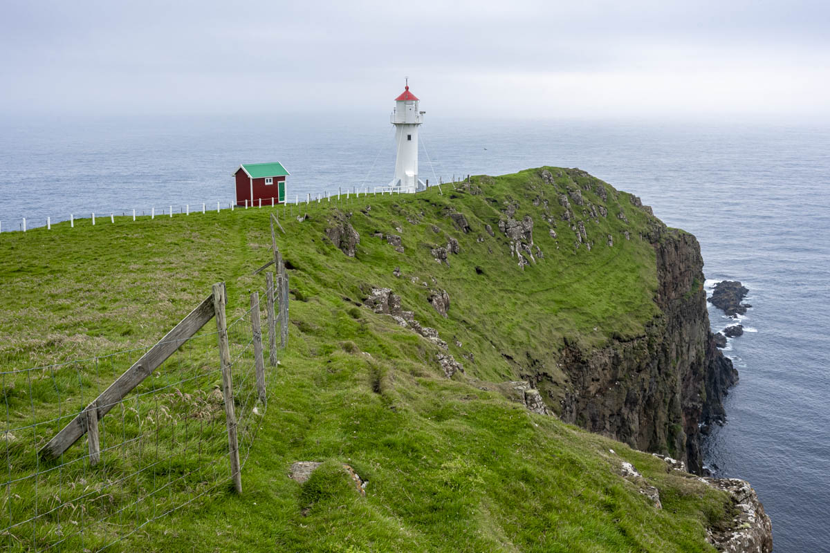
We headed south in search of better weather. It was a 20-mile drive to the southern end of the island where the Akraberg Lighthouse has stood since 1909, the last outpost before the open Atlantic. The weather improved a bit, and there were dramatic views of the rugged coastline and some of Suðuroy’s 263 skerries. While we still had visibility, we went in search of Beinisvørð.
At 470m, Beinisvørð is the tallest sea cliff on the island. The Faroese poet Poul F. Joensen called Beinisvørð the “guardian spirit of the country.” And Janus Djurhuus used it as a symbol of Faroese independence in his poem Heimferð Nólsoyar Páls. One of the best vantage points is the mountain road Hesturin, also known as the Old Road to Sumba. This scenic –and slightly hair-raising – one-lane road climbs steeply to the summit near Beinisvørð. We parked and walked toward the edge – but the cliff was obscured by fog.
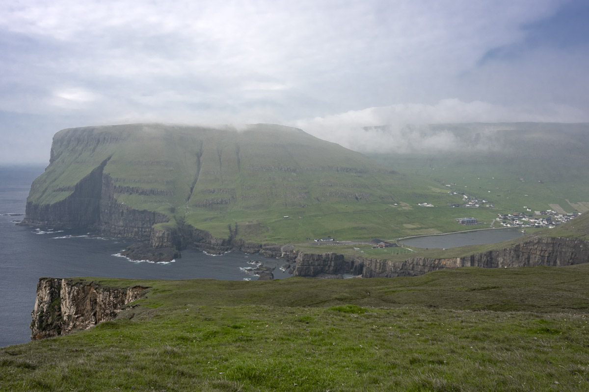
We drove to Eggjarnar, a cliff-top plateau, another vantage point of the elusive Beinisvørð. After another winding, one-lane road, there is a viewing platform perched 200 meters above sea level and the ruins of a LORAN-A station built by the Americans in 1943, used for long-range navigation during WWII. A line of photographers waited at the cliff’s edge in hopes of getting a shot of the monumental cliff. We stayed for a while, admiring views of the rugged cliffs of Vágseiði to the north, but never got a glimpse of Beinisvørð.
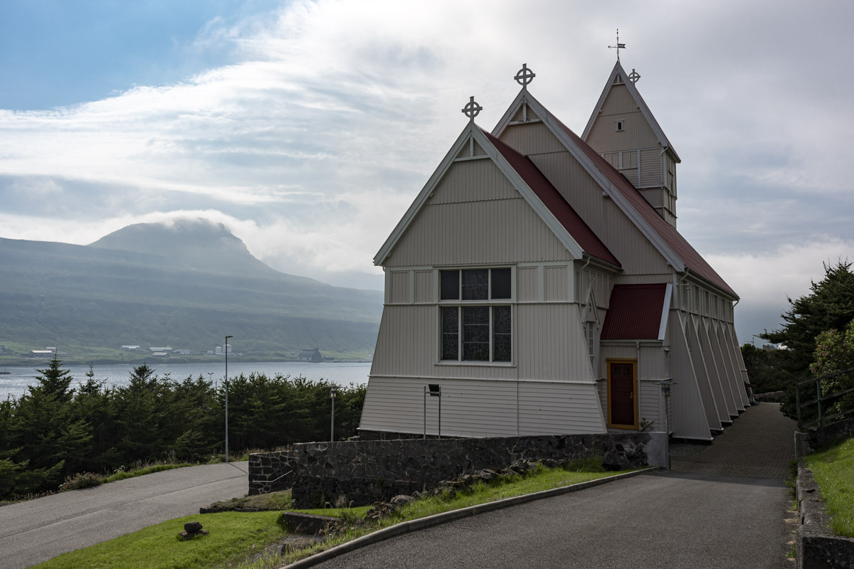
Tvøroyri, the capital of Suðuroy, was our last stop of the day. Built in 1908, the Tvøroyrar Kirkja is a charming church that was prefabricated in Norway and shipped to Tvøroyri as a timber construction kit. We grabbed sandwiches at a friendly village café before boarding the ferry. On the way back to Torshavn, we reflected that it had been a day of elusive targets, of searching and not finding. But it didn’t diminish the joy of the adventure. Driving the Old Road to Sumba was the highlight of a lovely day.